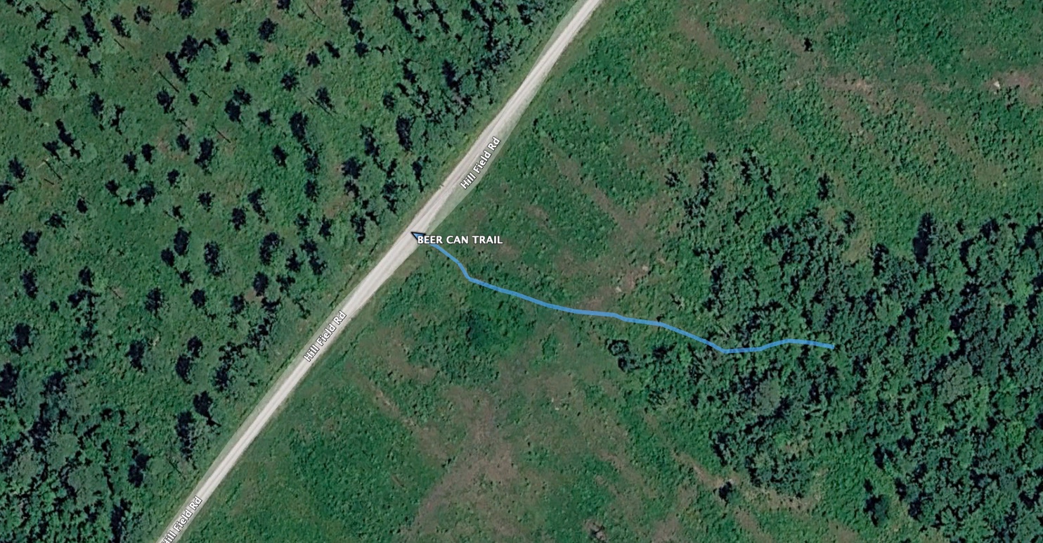
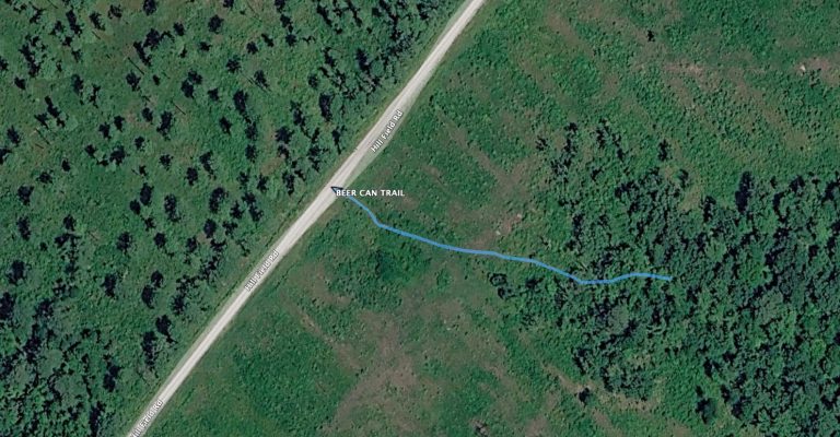
For those who might want to explore the southern section of the unofficial trail, you can find a trail through the chaos next to Hillfield Road about 0.6 miles from HW 58 (SW). The little blue line on the satellite image, below, is what we like to call “the beer can trail” because it used to be marked by a beer can. The trail does continue to the east.
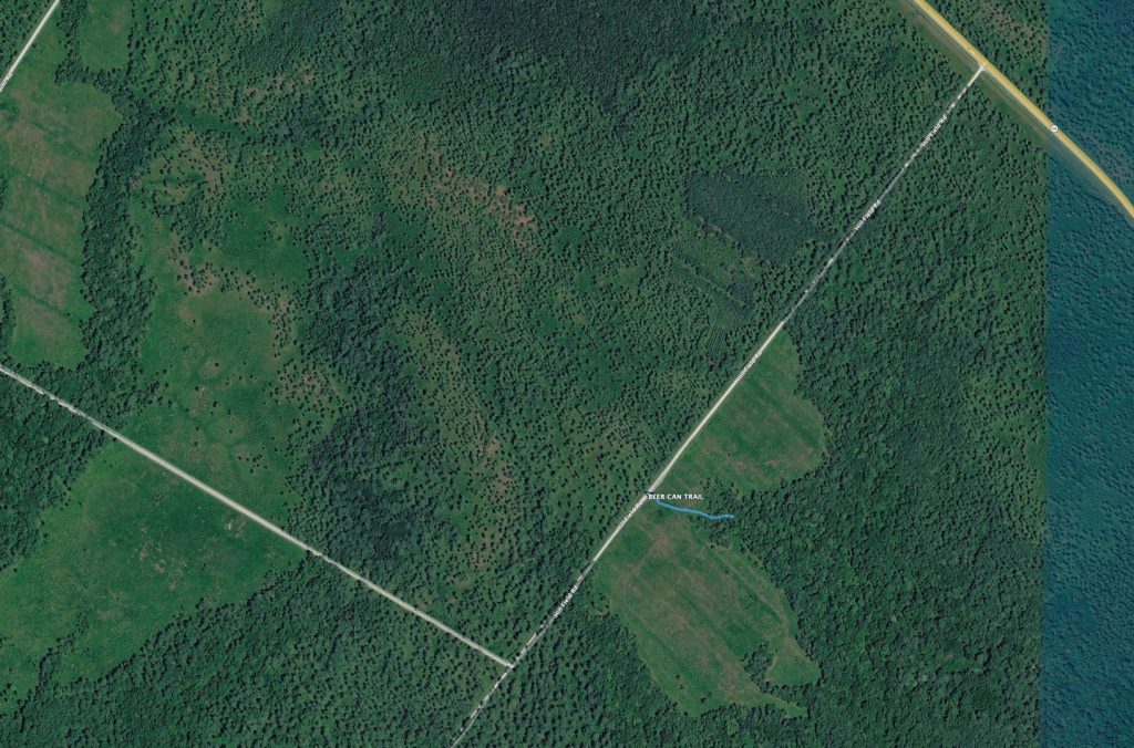
The current condition of the trail isn’t great. It can be difficult to follow, in places. It is still my favorite section of the [unofficial] Weetock trail, which is a total of 15.5 miles, if you follow the entire thing from this entrance to the northern terminus at Long Point Road near HW 58. You can download the GPS track of the entire trail from the GPS Tracks Page, and you can see a satellite image with the entire trail on my blog entry from the day I walked the entire thing.
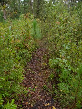
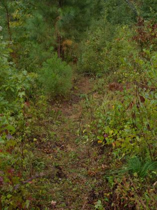
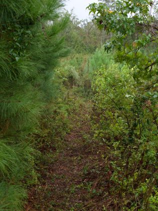
The Beer Can Trail has been maintained recently. I believe someone else helped clean it up. If you are reading this, thank you for that. I always appreciate any help I can get, keeping these trails clear and well marked. Here are some recent photos …




+ There are no comments
Add yours